The story of how I-95 cut a gash through Philadelphia starting in the 1960s is not just a single tale of eminent domain. The superhighway is best anthologized through the various neighborhoods and industrial work sites that disappeared thanks to its construction. This post is the first in an ongoing series about places that no longer exist thanks to our beloved I-95.
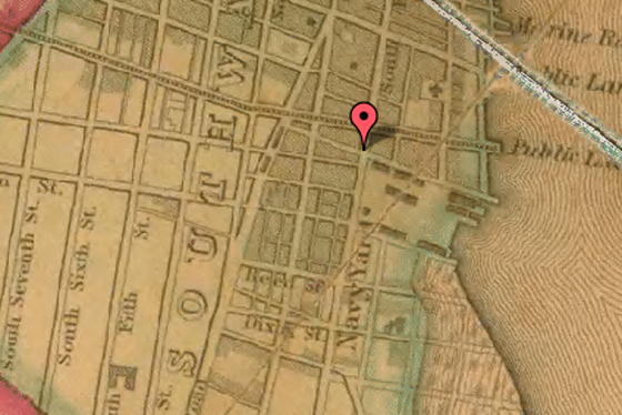
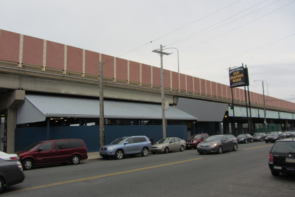
An area quite profoundly impacted by the construction of I-95, the Pennsport neighborhood exists today in the shadow of the elevated interstate. One stretch that gives evidence of the transformation is that on Front Street between Washington and Federal. Nestled snugly beneath an overpass, Rizzo Rink offers an excellent example of how negative space should be used…that is, for ice skating and athletics. But long before 95 arrested the development of our waterfront, the area in question was of even greater strategic importance than for the practice of pee wee hockey. According to Charles Ellet, Jr.’s 1843 map of Philadelphia County, this plot of land was a U.S. Navy Yard.
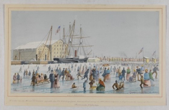
Indeed, the blog NFR indicates that the Navy Yard was constructed around the turn of the 19th century, when Philadelphia served as the nation’s capital. This meant that the Navy Yard in the area that was collectively referred to as Southwark was once the most important ship-building and launching yard in the United States. Moreover, Federal Street, which connected the Yard to “the federal arsenal near Gray’s Ferry,” was so named for its critical importance in the federal government’s war-making interests. The illustration here below, taken from the Historical Society of Pennsylvania, shows the Navy Yard from the Delaware River.
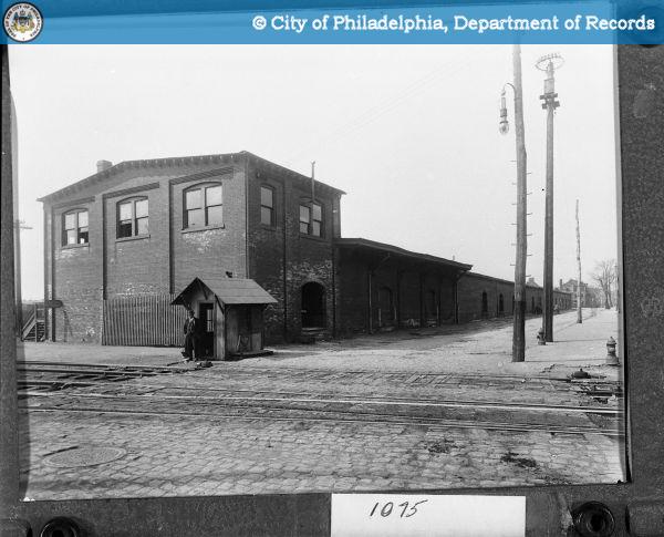
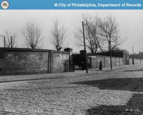
According to Wikipedia, the timber-driven Navy Yard’s doom was spelled with the advent of ironclad warships. The Federal Street yard was replaced with the League Island facilities in 1871. Nonetheless, the facilities on Front Street remained critical to the evolution of our nation’s transportation. By 1895, the yard was in use as the Pennsylvania Railroad or Federal Street Freight Station. The 1915 photo here below, borrowed from the Philadelphia Department of Records, shows the bustling scene at the freight station.
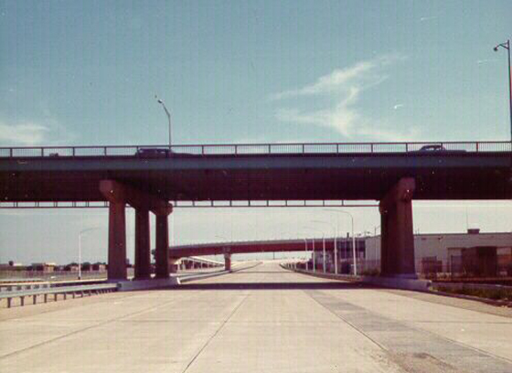
Over the next 70 years, the space would expand south to Reed Street and would occupy all land east of Front Street leading to the river. But as construction of I-95 through Philadelphia initiated in 1959, the Freight Station became a very real and symbolic demonstration of our transformation from a railway society to a car culture. The next 20 years saw the sweeping obliteration of Southwark parallel to the waterfront. The photo here below, taken from Pennways, shows the portion of I-95 parallel to Pennsport upon its completion and opening in 1979.
That same year, Rizzo Rink boldly planted itself at the corner at 1001 South Front Street, its primary wall and front entrance somewhat resembling those of its immediate predecessor with the notable addition of a massive highway directly above.
The remainder of the plot facing out to Front Street, also covered by the highway, is occupied by a makeshift basketball court and a smattering of parking lots.
–David Tomar

