In Early 20th Century Philadelphia, the lands south of Oregon Avenue were a wilderness, pockmarked with industrial uses, shanty towns, small hotels, and farms, in between snaking freight rail tracks, creeks, canals, and long roads left over from Native American trails. Isolated communities formed in this wilderness- the community known as “The Neck”, Martinville, or Stone House Lane is the one that is the most written and spoken of. Despite that, no physical evidence remains of it in the cityscape, save for the odd shape of the Oregon Diner’s property, which aligns with the old Stone House Lane. Another community, however, does still retain a physical presence in the city. The Village, also known as Magazine Lane, Sunburn Hill, Nanny Goat Hill, and yes, Goosesh*t Hill, still exists, in a manner of speaking.
In the mid to late 19th Century, the area near the corner of Beggarstown/Magazine Lane (now roughly Harntraft Street) and Penrose Ferry Road (about a block west of the current Penrose Avenue) became populated with large tracts of farmland, leased from the Roberts family that owned the land for generations (no relation to the Comcast people). Around 1900, brick homes for farm workers and their families were built in blocks that had been recently platted nearby– the 2100 and 2200 blocks of Homestead Street and Hartranft Street along with the 3100, 3200, and 3300 blocks of South 22nd Street. The residents of this area referred to these homes and the surrounding farms as The Village.
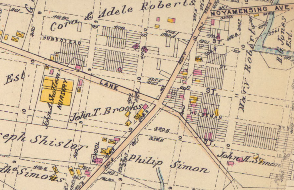
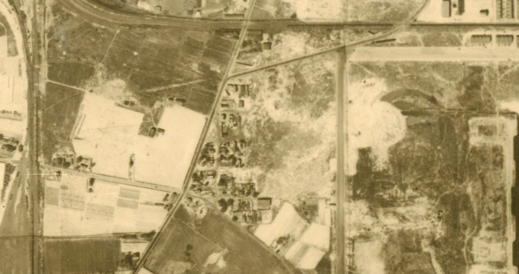
Through the 20th Century, the Village was decimated piece-by-piece. Passyunk Homes, a federal housing unit created for Navy Yard and Army Quartermaster Depot workers, wiped out the farm area of The Village by the mid 1940s. Penrose Avenue flattened the east side of the Village by the 1950s. In the 1960s, a highway ramp was run through the new west side of the Village just to end at a newly-created intersection that wiped out the southern portion. By the start of the 1970s, all that was left of The Village was a handful of homes and a church at around 22nd and Homestead, along with a few more homes surrounding the small remaining portion of the Penrose Ferry Road.
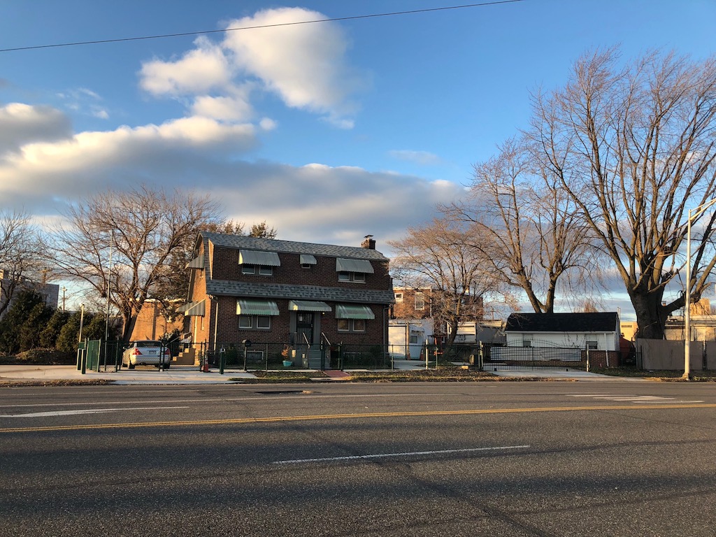
In the 21st Century, roughly 11 buildings remain of the Village. To the West and South, the old military housing, which was converted to public housing and later razed after an oil-related incident in the 1990s, is now filled with new construction market-rate housing. One interesting piece of archeology still extant is the stone foundation of an early 19th Century building that runs along the small remaining segment of the Penrose Ferry Road and aligns to the north with the long-lost Beggarstown Lane.
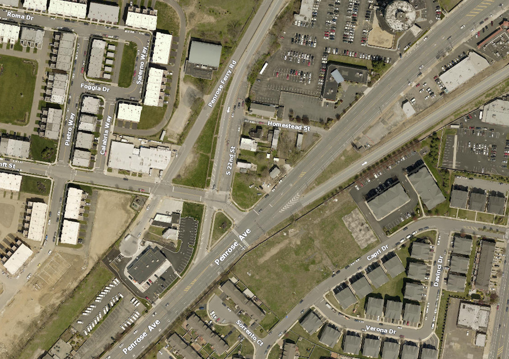
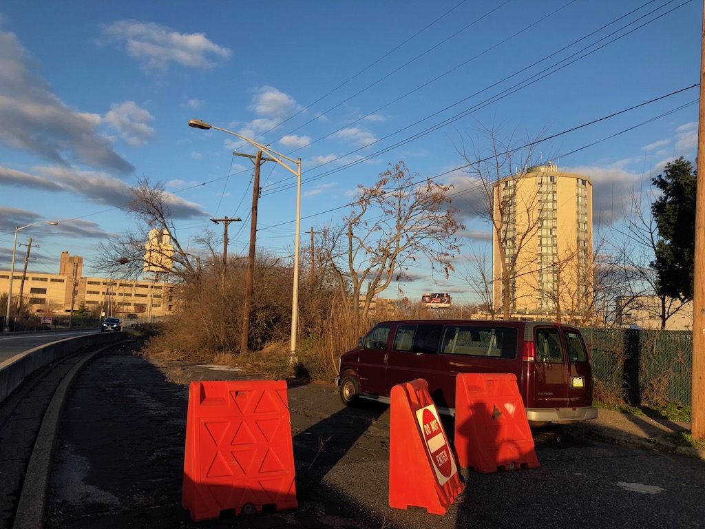
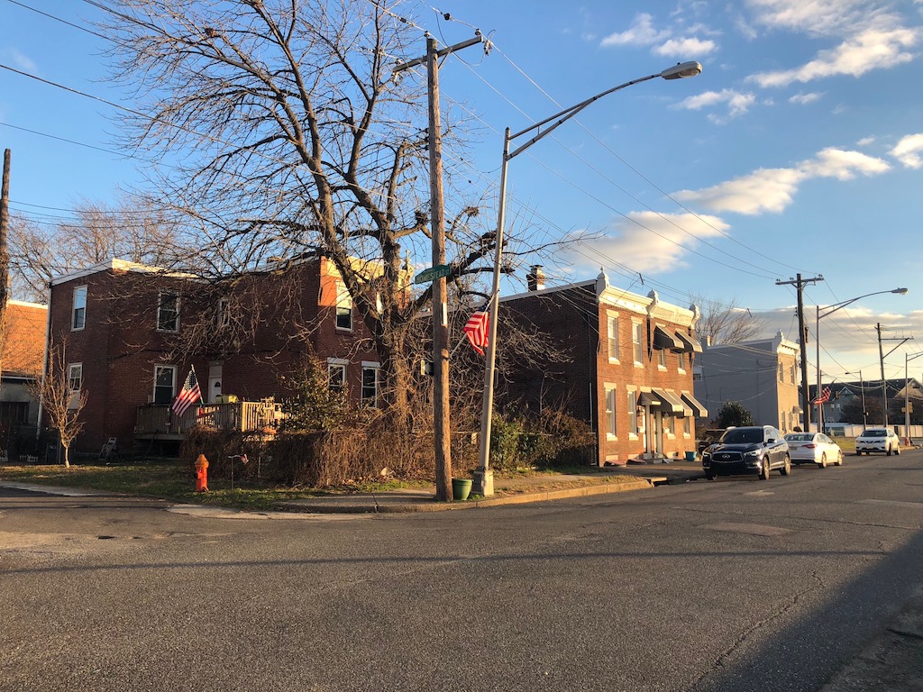
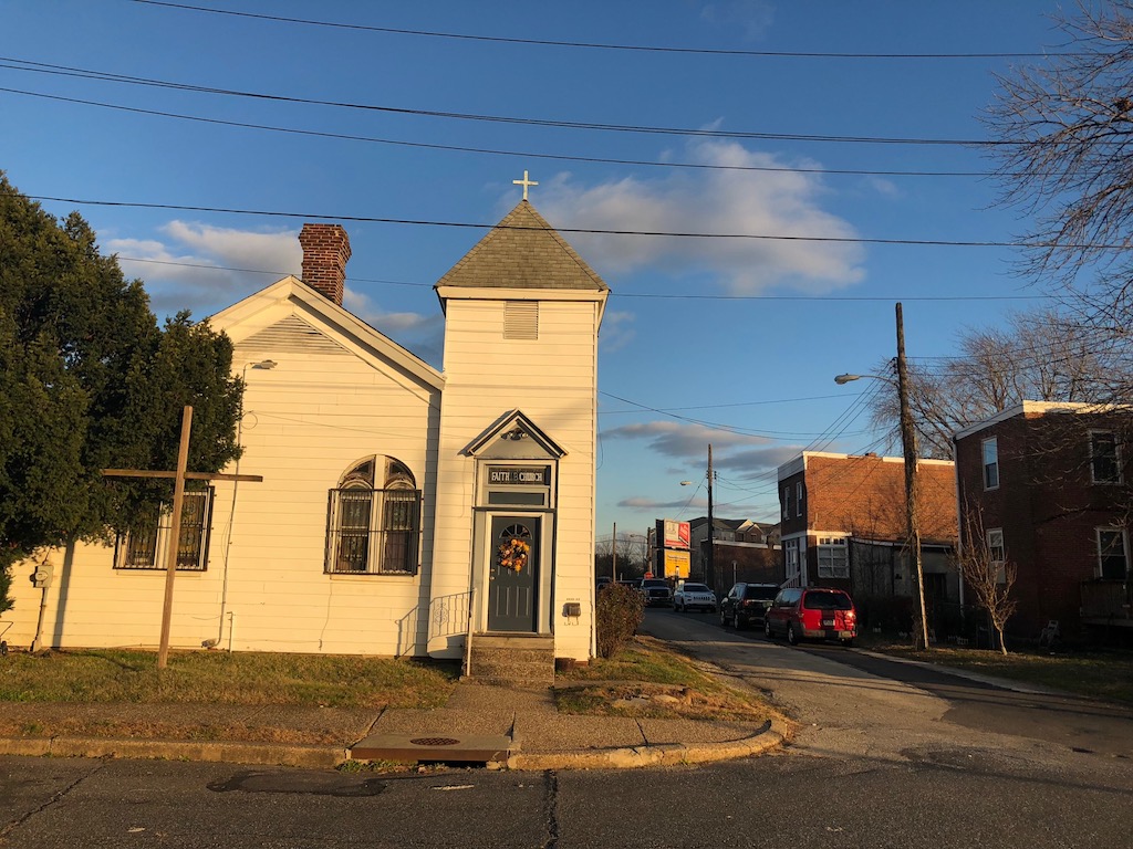
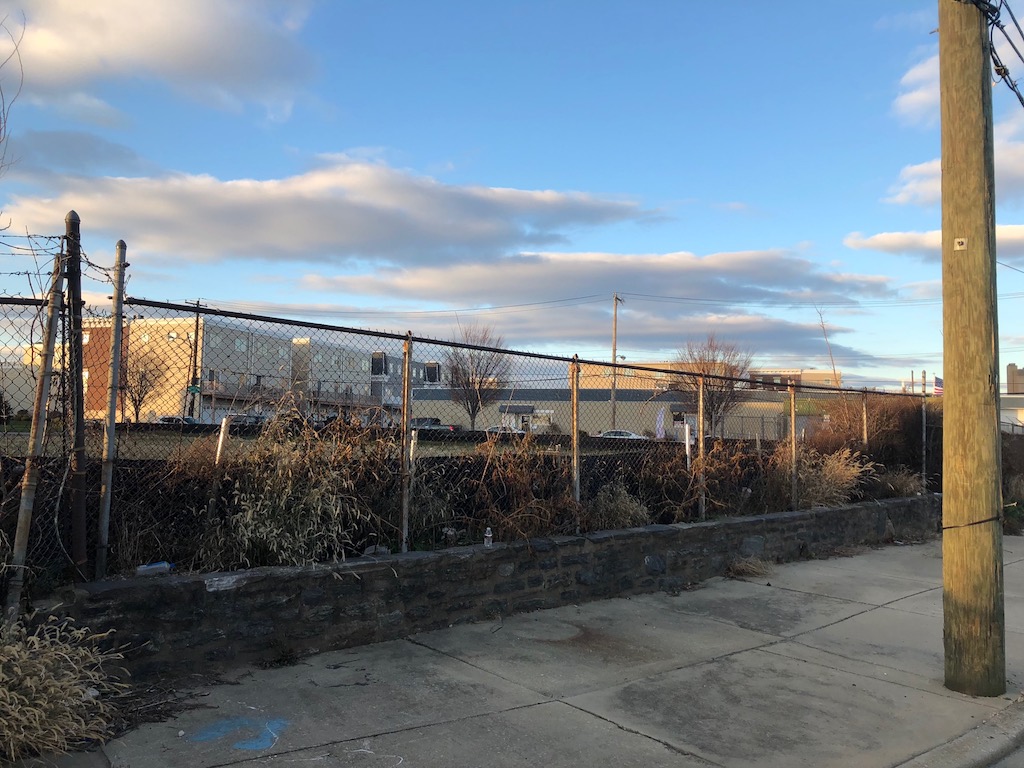
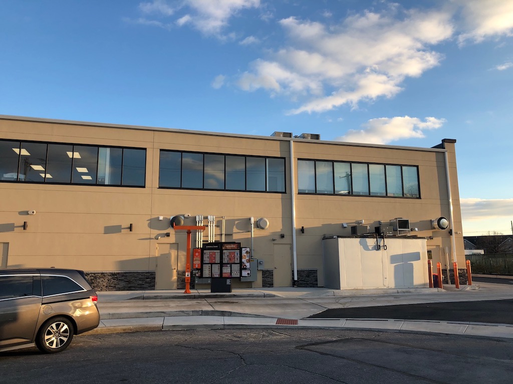
Though isolated, the remnants of the Village have walkable amenities nearby such as the Penrose Diner, the Peking Inn, Front Row Sports Bar, and a Dunkin Donuts built just a few years ago. The Village has transit access via the SEPTA 68 Bus. The latest home sale in the Village was a 2127 Penrose Ave., a suburban-style home built for attorney Raymond M. Victor in the 1970s, which sold in 2015 for a surprising $340K. Of course, the number isn’t too incredible, considering the home sits on a 14K sqft parcel. Perhaps these owners will someday look to build something new on a part of their sizable property.
–Dennis Carlisle
